Sandy Lied: The Phantom Island That Fooled the World's Best Mapmakers for Three Hundred Years
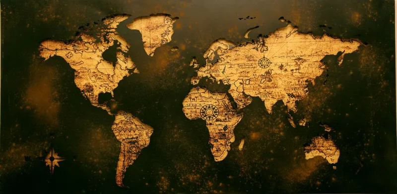
Maps are supposed to show what's real. That's the whole point. You look at a map, you find where things are, you go there. Simple.
Except for roughly three hundred years, the world's most respected cartographers — working for naval powers, royal geographic societies, and official admiralty offices — kept putting an island on their maps that simply did not exist. They added coastlines to it. They named its features. They included it in navigation instructions. And the only reason nobody caught on for three centuries is that the ocean is very large and nobody had a particular reason to go looking for a place they already assumed was there.
The phantom island genre is a real thing in cartographic history, and it's weirder than it sounds.
How a Map Lie Becomes a Map Truth
To understand how this happens, you have to understand how maps were actually made before satellites, GPS, and systematic ocean surveys. Cartographers didn't go everywhere themselves. They compiled information from sailors, explorers, merchants, and — critically — from other maps.
That last source is where things get dangerous.
When a mapmaker in, say, 1650 was drawing the Pacific Ocean, they might have access to a dozen previous charts, explorer logs, and secondhand accounts. If eight of those sources showed an island at a particular set of coordinates, the rational thing was to include it. The sources agreed. The island went on the map.
The problem is that those eight sources might all have been copying from the same original mistaken chart, each adding a little more detail to make it look more authoritative. One mapmaker draws a vague blob. The next gives it a north coast. The one after that adds a bay. By the time the fifth or sixth iteration comes around, the island looks so thoroughly documented that questioning its existence would seem eccentric.
This is exactly what happened with Sandy Island — a supposed landmass in the Coral Sea between Australia and New Caledonia that appeared on maps for centuries before anyone bothered to go check.
Three Hundred Years of Very Confident Wrong
Sandy Island's paper trail traces back to the late 1700s, when whaling ships operating in the South Pacific reported a landmass in the region. Whether those early reports reflected a genuine sighting of something — a sandbar, a reef, a trick of light and wave — or were simply navigational errors is still debated. What's not debated is what happened next.
The reports made it onto charts. The charts got copied. The island grew more detailed with each generation of mapmakers, each one assuming that whoever drew it before them had actually been there or at least had good reason to believe in it.
By the nineteenth century, Sandy Island was appearing on British Admiralty charts — the gold standard of maritime navigation, the maps that the Royal Navy trusted with its ships and its sailors. If the Admiralty said the island was there, it was there. The Admiralty's inclusion essentially laundered the phantom into legitimacy.
The island persisted through the twentieth century. It appeared in databases. It showed up on Google Earth as recently as 2012, rendered in the same authoritative style as every other piece of geography on the planet.
The Ship That Went Looking and Found Nothing
In November 2012, Australian scientists aboard the research vessel Southern Surveyor were transiting the Coral Sea when someone noticed that the island on their charts was, according to the ship's depth sounder, under about 4,600 feet of water.
That's not where islands are.
The ship diverted to investigate. They found open ocean. They sailed back and forth across where Sandy Island was supposed to be. They found more open ocean. They took readings, double-checked their instruments, and eventually arrived at the only conclusion available: the island wasn't there. It had never been there. Three centuries of increasingly detailed cartography had been describing a place that the ocean had no record of.
The scientists published their findings, and the story went international almost immediately — partly because it was genuinely astonishing, and partly because Google Earth had to quietly remove Sandy Island from its maps in real time, which is a strange thing to watch happen to a place that doesn't exist.
The Near-Incident Nobody Talks About
Beyond the scientific embarrassment, Sandy Island's phantom existence had real-world consequences that came uncomfortably close to mattering politically.
Because the island appeared on official charts, it had been factored into maritime boundary calculations in the Coral Sea — a region where Australia, France (via New Caledonia), and other Pacific nations have overlapping jurisdictional interests. An island, even an uninhabited one, can anchor an Exclusive Economic Zone extending 200 nautical miles in every direction. Sandy Island's position, if real, would have affected who controlled what in that patch of ocean.
Nobody had formally claimed it, largely because its status was ambiguous — but its presence in boundary databases meant that its nonexistence, once confirmed, required official correction across multiple governments' maritime records. The island had to be un-claimed from frameworks it had never actually been claimed in, which is a strange administrative problem to have.
What Three Centuries of Wrong Looks Like
The Sandy Island story is funny until you think about it too carefully, and then it becomes something more unsettling.
The world's most sophisticated navigation tools — the charts that guided warships and merchant fleets and scientific expeditions — contained an island that wasn't there, and nobody caught it because catching it required someone to go look, and why would you go look for something you already knew was there?
The error survived peer review, institutional scrutiny, and the transition from hand-drawn parchment to digital databases. It survived because each new system inherited the mistakes of the previous one and treated inherited data as verified data.
In the end, Sandy Island was erased from existence not by a grand investigation or a government inquiry, but by a research ship that happened to notice its depth sounder was disagreeing with the chart — and scientists curious enough to trust the sounder.
Three hundred years of cartographic authority, undone by paying attention to what was actually in front of them.